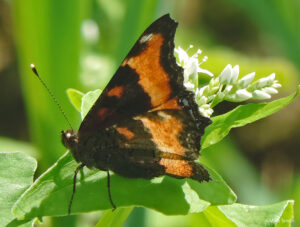
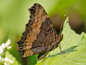
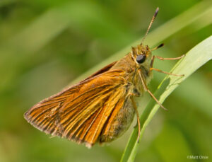
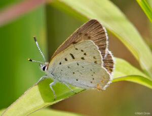
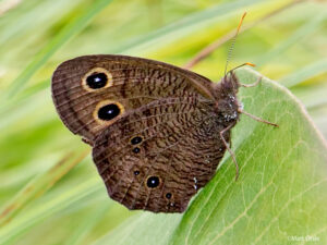
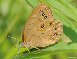
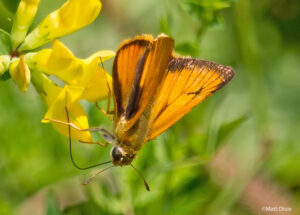
Barry Marts, Mike Smith and I made a trip to Rickett’s Glen State Park which is about 25 miles NW of Wilkes-Barre, PA. We try to get up there at least once a year as it is a great location to look for species not in our immediate area. The Tortoiseshells (Compton and Milbert’s) are always a possibility just time in July along with Bog Copper, Eyed Brown, Dion Skipper, Two-spotted Skipper and usually, plenty of Hairstreaks. We drove through heavy T’Storms on the way up but when we arrived the front was sagging south and the rest of the day was great until more storms fired up around 4 PM. Highlights included a Milbert’s Tortoiseshell that Mike found, several Eyed Browns (great photo contributed by Mike below) and Bog Coppers. Although diversity was good (20 species) numbers were low save for a couple of species. Only one Hairstreak was located! The complete list is here along with a few photos. Can’t wait to go back again, perhaps later this summer.
Eastern Tiger Swallowtail              common
Eastern / Canadian Swallowtail hybrid  5
Orange Suphur                          7
Clouded Sulphur                        2
Cabbage White                          2
Coral Hairstreak                       1
East. Tailed-Blue                      2
Summer Azure                           2
Bog Copper                            10
Pearl Crescent                        11
Common Wood-Nymph                      5 dark form
Eyed Brown                            20
Northern Pearly-Eye                    9
Red-spotted purple                     2 (1 White Admiral intergrade)
Mourning cloak                         1
East. Comma                            1
MILBERT'S TORTISESHELL                 1 Lifer for Mike
Atlantis Fritillary                    2
Great Spangled Fritillary              9
Fritillary sp.                         8 Fly by's
American Lady                          1
Monarch                               12
Silver-spotted Skipper                 2
Delaware Skipper                       5
Dun Skipper                            common
Long Dash                              5
Dion Skipper                           9
European Skipper                       4
Peck's skipper                        14
Little Glassywing                      8
Two-spotted Skipper                    9
Northern Broken-Dash                   3
Click on any image to enlarge
 |
 |
 |
 |
 |
 |
 |
 |

Have been to Rickets Glen. Where were these found? Any particular trail and did you notice how the waterfalls were? Thanks, Beth
Beth, Basically the paths to open fields just south of Beech Lake off of Fish Commission Rd. The other nice walk and fields is the path leading to Splashdam Pond. The parking lot is just north of where Fish Commission road heads right of of Rt 487 (heading northbound) and the trail is across Rt 487 immediately north of the creek/stream. Both location can be found on Google maps and both are essentially north of the actual State Park.