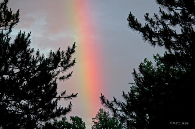
I’m going to break with tradition in the next couple of entries and include some non-butterfly photos to enhance the experience(:> Barry Marts and I took a trip to Maine and New Hampshire in search of butterflies with the main goal of finding two northeastern U.S. Arctics; Polixenes and Melissa. We arrived in Millinocket, ME to a tunderstorm and hail but shortly afterwards we received a sign that this was going to be a good trip:
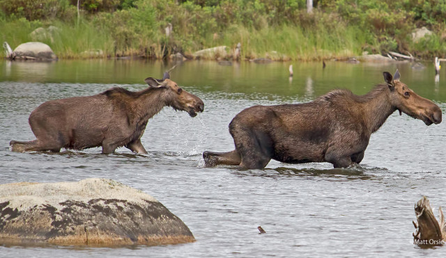
The Polixenes Arctic subspecies (Oneis polixnes katahdin) only resides on Mount Katahdin in Baxter State Park. The Katahdin spire contains Baxter Peak which is the highest point in Maine (5,267 ft) and serves as the northern terminus of the Appalachian Trail. This was my third trip up that mountain in the last thirty years. It’s amazing to me how these seemingly fragile creatures can endure the extreme weather and conditions near the summit. It takes two years for the Polixenes Arctic to reach adulthood. Fourtunately the brood timings are mixed so that some are flying each summer although one year may be better than the next. The Hunt Trail was chosen for the hike. It climbs over 4,000 ft from Kadahin Stream Campground to Baxter Peak. At 4,600 ft you reach a relatively flat (compared to previous portions of the trail) area known as the table lands. This tundra like environment contains the only known host plant for the species, Bigelow’s sedge (Carex bigelowii). On the drive up to the campground we stopped at one of many ponds in the park and found two Moose foraging.
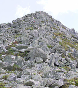
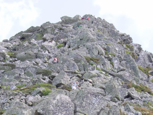
Hiking to the table lands along the Hunt Trail is about 4.3 miles with a 3.600 ft elevation gain. You need to watch your step and go at a comfortable pace. It is a difficult hike and the last 1,000 ft section to the flats is a boulder climb known is the Hunt Spur. You get to hike above tree line and if you’ve not experienced that before it can be daunting. Perspective changes without the “safety” of the trees. It is also more exposed to winds. Eighteen deaths have been recorded on Katahdin since 1963. Some were due to falls while others were due to exposure. You have to be prepared for fast changing, possibly winter like conditions even in the summer. Know the forecast before you go! Below are a couple of shots I took on the Hunt Spur looking up from about half way up the spur. The first is the normal perspective shot while the second is a crop of the upper portion of the first shot. Can you see the hikers climbing the boulders?
Click on images for larger size
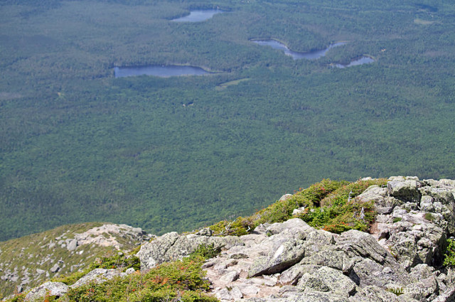
The view from the table lands is outstanding as evidenced from the following photo. The photo is looking back at the hike starting point (tiny open area just left of center – Katahdin Stream Campground)
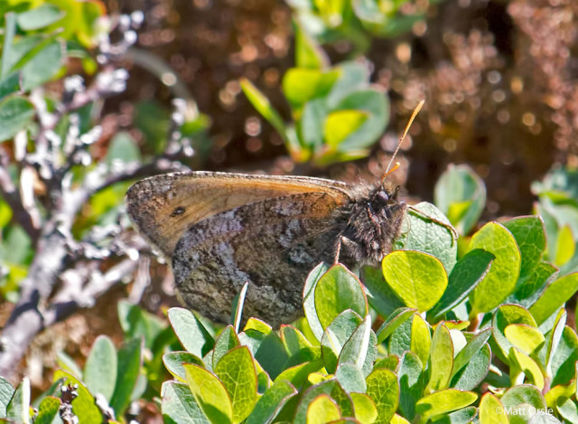
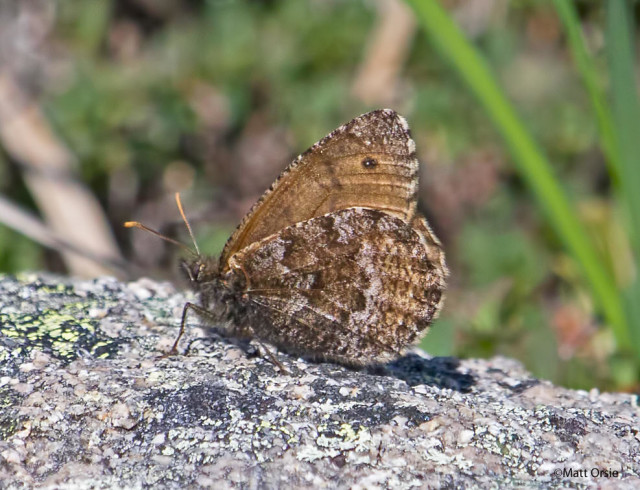
It took me three hours to reach the plateau. After hiking for 15 more minutes or so I spotted a low flying brown butterfly. It landed about 30 ft away. Visual inspection confirmed a Polixenes Arctic! Now the hike down wouldn’t seem as hard. Over the next hour or so I saw 3 other Polixenes:
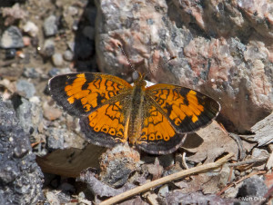
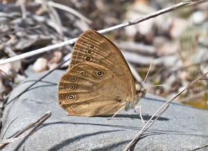
By now it was approaching 11:30am and I decided to head down. I said farewell to Baxter Peak which was looming 600 ft higher 3/4 of a mile away. I had previously hiked Baxter Peak using the “Knife Edge” in July of 2000. Perhaps it was to be my last time on the granite spire. If so, it was memorable. The hike back also took about 3 hours as you can’t go too fast down the Hunt Spur boulder field. A weary but happy guy arrived back at the campground around 2:30pm. We spent some of the remaining time looking for butterflies in the lowlands around Millinocket. During our two day visit notables included Canadian Tiger Swallowtail, White Admiral, Northern Crescent and Eye Brown. The next leg of the trip will be discussed in next blog post…
Click on images for larger size
 |
 |

Matt, an amazing feat! So happy you made it safe and got great photos of the Arctic. As much as I’d love to see it as well, I honestly feel that my time has past for such a foray. Congratulations on an amazing climb and find!